Table of Contents
- Introduction
- Who is Emericus Zlinszky?
2.1 Background and Career
2.2 Contributions to Ecology - Importance of Wetland Ecosystems
3.1 Biodiversity and Ecosystem Services
3.2 Role in Climate Regulation - Remote Sensing in Wetland Ecology
4.1 Overview of Remote Sensing Technologies
4.2 Advantages Over Traditional Methods - Emericus Zlinszky’s Pioneering Work
5.1 Innovative Techniques
5.2 Key Research Findings - Applications of Zlinszky’s Work
6.1 Conservation Strategies
6.2 Climate Change Mitigation
6.3 Policy and Decision Making - Challenges in Wetland Research and Remote Sensing
7.1 Technical Limitations
7.2 Data Interpretation Complexities - Future Prospects of Zlinszky’s Research
8.1 Advancements in Remote Sensing Technologies
8.2 Global Collaborations and Impact
8.3 Education and Outreach - Conclusion
- FAQs
1. Introduction
Wetland ecosystems are among the most biodiverse and valuable ecosystems on Earth, yet they remain under significant threat due to human activities and climate change. Emericus Zlinszky, a renowned ecologist, has made groundbreaking contributions to the study of wetlands through the innovative use of remote sensing technologies. This article delves into his work, its significance, and its implications for wetland conservation and sustainable development.
2. Who is Emericus Zlinszky?
2.1 Background and Career
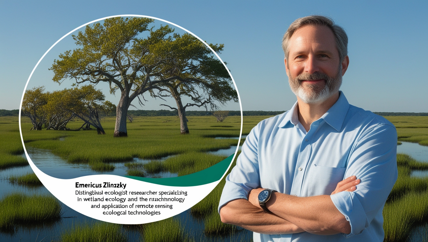
Emericus Zlinszky is a distinguished ecologist and researcher specializing in wetland ecology and the application of remote sensing technologies. With a strong academic foundation in environmental science, he has been at the forefront of integrating cutting-edge technology into ecological research.
2.2 Contributions to Ecology
Zlinszky’s work bridges the gap between ecological theory and practical conservation. By employing remote sensing, he has developed methodologies to monitor, analyze, and manage wetland ecosystems efficiently.
3. Importance of Wetland Ecosystems
3.1 Biodiversity and Ecosystem Services
Wetlands support an incredible diversity of life, providing habitat for numerous species of plants, animals, and microorganisms. They offer vital ecosystem services, including water filtration, flood regulation, and carbon sequestration.
3.2 Role in Climate Regulation
Wetlands act as carbon sinks, playing a crucial role in mitigating climate change. They store vast amounts of carbon dioxide, helping to regulate the Earth’s temperature and prevent extreme weather events.
4. Remote Sensing in Wetland Ecology
4.1 Overview of Remote Sensing Technologies
Remote sensing involves the use of satellite or aerial imagery to gather information about the Earth’s surface. Techniques such as LiDAR (Light Detection and Ranging), hyperspectral imaging, and radar systems provide detailed data on wetland conditions.
4.2 Advantages Over Traditional Methods
Remote sensing allows for large-scale monitoring of wetlands, offering cost-effective and non-invasive alternatives to ground surveys. It provides real-time data, making it invaluable for tracking changes in wetland ecosystems.
5. Emericus Zlinszky’s Pioneering Work
5.1 Innovative Techniques
Zlinszky has been instrumental in adapting LiDAR and hyperspectral imaging for wetland studies. His methods have improved the accuracy of vegetation mapping and hydrological modeling.
5.2 Key Research Findings
Through his research, Zlinszky has uncovered significant insights into wetland dynamics, including patterns of vegetation growth, water flow, and the impacts of human activities on wetland health.
6. Applications of Zlinszky’s Work
6.1 Conservation Strategies
Zlinszky’s methodologies have been used to design and implement effective conservation plans. By identifying areas of ecological importance, his work supports targeted restoration efforts.
6.2 Climate Change Mitigation
His studies highlight the role of wetlands in carbon storage, emphasizing their importance in global climate strategies. Remote sensing tools help quantify carbon stocks and track changes over time.
6.3 Policy and Decision Making
Policymakers benefit from Zlinszky’s research, which provides scientific evidence to inform land use planning and wetland protection policies.
7. Challenges in Wetland Research and Remote Sensing
7.1 Technical Limitations
Despite its advantages, remote sensing technology faces challenges such as data resolution limitations and the need for advanced computational resources.
7.2 Data Interpretation Complexities
The vast amount of data generated by remote sensing requires skilled interpretation. Misinterpretations can lead to inaccuracies in ecological assessments.
8. Future Prospects of Zlinszky’s Research
8.1 Advancements in Remote Sensing Technologies
The future of Zlinszky’s research is closely tied to emerging remote sensing technologies. Innovations such as high-resolution satellite imagery, drone-based surveys, and AI-driven data analysis promise to enhance the precision and scalability of wetland studies. These advancements will allow for more accurate mapping of wetland boundaries, better detection of subtle ecological changes, and improved prediction of future trends.
8.2 Global Collaborations and Impact
As environmental challenges transcend borders, Zlinszky’s work will benefit from increased international collaboration. By partnering with global research institutions and conservation organizations, his methodologies can be applied to diverse wetland ecosystems worldwide. Such partnerships will facilitate data sharing, standardization of remote sensing protocols, and the development of comprehensive global wetland monitoring systems.
8.3 Education and Outreach
A key component of future prospects lies in educating the next generation of ecologists and decision-makers. By integrating his research into academic curriculums and public awareness campaigns, Zlinszky aims to inspire a broader understanding of wetlands’ importance. Outreach programs and workshops could help disseminate his techniques to conservationists, researchers, and policymakers.
8.4 Role in Sustainable Development
Zlinszky’s research has the potential to play a pivotal role in achieving the United Nations Sustainable Development Goals (SDGs). Wetlands are critical to goals such as clean water and sanitation (SDG 6), climate action (SDG 13), and life on land (SDG 15). His work can inform sustainable land management practices, enhance water resource planning, and contribute to global carbon sequestration efforts.
8.5 Precision Monitoring and Management
Future advancements in Zlinszky’s methodologies could lead to real-time monitoring systems for wetlands. By integrating IoT sensors with remote sensing platforms, it may become possible to track water levels, vegetation health, and pollutant levels with unparalleled precision. These systems would enable proactive management, ensuring that interventions can be implemented before irreversible damage occurs.
9. Conclusion
Emericus Zlinszky’s innovative use of remote sensing has revolutionized the study of wetland ecology. His contributions have provided valuable tools for conservation, climate change mitigation, and informed policy decisions. As technological advancements continue to unfold, his work promises to play a pivotal role in safeguarding wetlands for future generations.
10. FAQs
Q1: What is Emericus Zlinszky known for?
A1: Emericus Zlinszky is known for his pioneering work in wetland ecology and the application of remote sensing technologies to monitor and conserve these vital ecosystems.
Q2: How does remote sensing benefit wetland research?
A2: Remote sensing provides large-scale, non-invasive, and real-time data on wetland conditions, making it a cost-effective and efficient tool for ecological studies.
Q3: What are the main challenges in using remote sensing for wetland research?
A3: Challenges include technical limitations in data resolution, the need for advanced computational tools, and complexities in data interpretation.
Q4: What are the future prospects of Zlinszky’s work?
A4: Future prospects include advancements in remote sensing technologies, increased global collaborations, and integration into education and outreach programs.
Q5: Why are wetlands important?
A5: Wetlands are crucial for biodiversity, climate regulation, and ecosystem services such as water filtration and flood control.


